Showcase Gallery
Highlight


-
The information on major projects on the Civil Engineering and Development Department’s website is presented in a map view.
-
A comprehensive Beach Water Quality Monitoring Programme has been implemented by the Environmental Protection Department to protect public health.
-
Embee Limited has developed a free real-time air quality monitoring service designed to safeguard student health by providing parents and educators with location-specific air quality information and advice.
-
Varadise Cosmos developed by Varadise is a digital twin platform that visualizes real-world environments in 3D.
-
The All-in-One Disaster Preparedness Map was developed by the Hong Kong Red Cross, with technical support from the Institute for the Environment at The Hong Kong University of Science and Technology.
-
To safeguard the valuable and unique city skyline of Hong Kong, particularly views to the ridgelines and Victoria Harbour, eight strategic viewing points (SVPs) have been identified for visual impact assessments (VIA) in planning studies and applications.
-
The Social Welfare Department offers a wide range of public services. More than 45 types of social services use the GeoInfo Map to present the locations of service units, covering areas such as Social Security, Family and Child Welfare, Medical Social Services, Rehabilitation Services, Services for Offenders, Youth Welfare Services, and Community Development and Support Services. With detailed information provided on the website and the associated GeoInfo Map, the public can locate the welfare services they need with greater efficiency. Explore the following two examples to learn more.
-
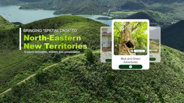
This website introduces the attractions of Hong Kong Geopark, offering insights into its natural and cultural highlights. It features an interactive map with suggested routes to help visitors plan their journey and explore the area with ease.