Showcase Gallery
Highlight

-
To safeguard the valuable and unique city skyline of Hong Kong, particularly views to the ridgelines and Victoria Harbour, eight strategic viewing points (SVPs) have been identified for visual impact assessments (VIA) in planning studies and applications.
-
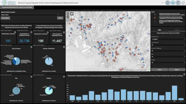
The Census and Statistics Department’s Interactive Data Dissemination Services (IDDSs) and the interactive dashboards showcase regional statistics on establishments and persons engaged in Hong Kong interactively.
-
Centamap developed by Centamap Company Limited is one of the pioneering internet map guides in Hong Kong, utilizing official digital maps from the Lands Department.
-
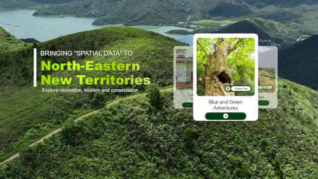
The Agriculture, Fisheries and Conservation Department (AFCD) offers a wide range of facilities within Country Parks to enrich the public’s recreational experience.
-
A comprehensive Beach Water Quality Monitoring Programme has been implemented by the Environmental Protection Department to protect public health.
-
Embee Limited has developed a free real-time air quality monitoring service designed to safeguard student health by providing parents and educators with location-specific air quality information and advice.
-
The Statutory Planning Portal is a digital platform developed by the Town Planning Board to enhance public access to the latest statutory plans and planning information.
-
The Hydrographic Office under the Marine Department developed a tidal data website that visualizes real-time and predicted tide levels via interactive maps and charts.