Showcase Gallery
Highlight

-
Promote cycling and cycling safety through the use of spatial data and statistics, and discover the ongoing development of cycling network.
-
The Environmental Protection Department offers a comprehensive platform for the public to access Hong Kong’s recent water quality data of two important parameters.
-
Centamap developed by Centamap Company Limited is one of the pioneering internet map guides in Hong Kong, utilizing official digital maps from the Lands Department.
-
The Hydrographic Office under the Marine Department developed a tidal data website that visualizes real-time and predicted tide levels via interactive maps and charts.
-
A comprehensive Beach Water Quality Monitoring Programme has been implemented by the Environmental Protection Department to protect public health.
-
The information on major projects on the Civil Engineering and Development Department’s website is presented in a map view.
-
The All-in-One Disaster Preparedness Map was developed by the Hong Kong Red Cross, with technical support from the Institute for the Environment at The Hong Kong University of Science and Technology.
-
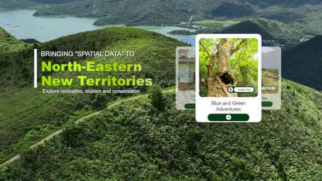
The Agriculture, Fisheries and Conservation Department (AFCD) offers a wide range of facilities within Country Parks to enrich the public’s recreational experience.