Showcase Gallery
Highlight

-
Promote cycling and cycling safety through the use of spatial data and statistics, and discover the ongoing development of cycling network.
-
A comprehensive Beach Water Quality Monitoring Programme has been implemented by the Environmental Protection Department to protect public health.
-
The All-in-One Disaster Preparedness Map was developed by the Hong Kong Red Cross, with technical support from the Institute for the Environment at The Hong Kong University of Science and Technology.
-
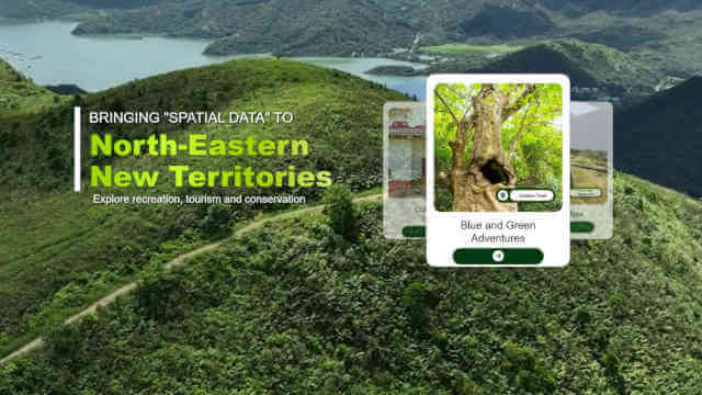
This website introduces the attractions of Hong Kong Geopark, offering insights into its natural and cultural highlights. It features an interactive map with suggested routes to help visitors plan their journey and explore the area with ease.
-
Developed by the Transport Department, “HKeMobility” is an all-in-one mobile application that allows users to carry out trip planning through conducting point-to-point route search for public transport, driving, and walking. “HKeMobility” also disseminates real-time traffic updates, parking availability, and estimated arrival times of public transport, so users may obtain personalized, accessible, and multi-modal travel information.
-
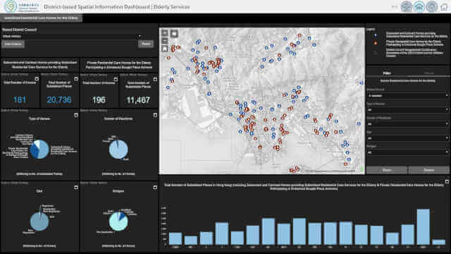
The Census and Statistics Department’s Interactive Data Dissemination Services (IDDSs) and the interactive dashboards showcase regional statistics on establishments and persons engaged in Hong Kong interactively.
-
The Agriculture, Fisheries and Conservation Department (AFCD) offers a wide range of facilities within Country Parks to enrich the public’s recreational experience.
-
The Battle of Hong Kong 1941: A Spatial History Project, led by Hong Kong Baptist University, employs Geographic Information Systems (GIS) to reconstruct the events of 8–25 December 1941.