Showcase Gallery
Highlight

-
The All-in-One Disaster Preparedness Map was developed by the Hong Kong Red Cross, with technical support from the Institute for the Environment at The Hong Kong University of Science and Technology.
-
The Hydrographic Office under the Marine Department developed a tidal data website that visualizes real-time and predicted tide levels via interactive maps and charts.
-
Centamap developed by Centamap Company Limited is one of the pioneering internet map guides in Hong Kong, utilizing official digital maps from the Lands Department.
-
The information on major projects on the Civil Engineering and Development Department’s website is presented in a map view.
-
Varadise Cosmos developed by Varadise is a digital twin platform that visualizes real-world environments in 3D.
-
A comprehensive Beach Water Quality Monitoring Programme has been implemented by the Environmental Protection Department to protect public health.
-
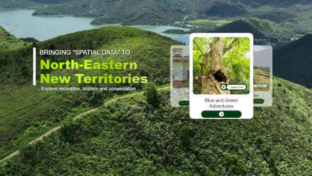
The “Enjoy Hiking” website promotes hiking in Hong Kong by showcasing various trails and attractions.
-
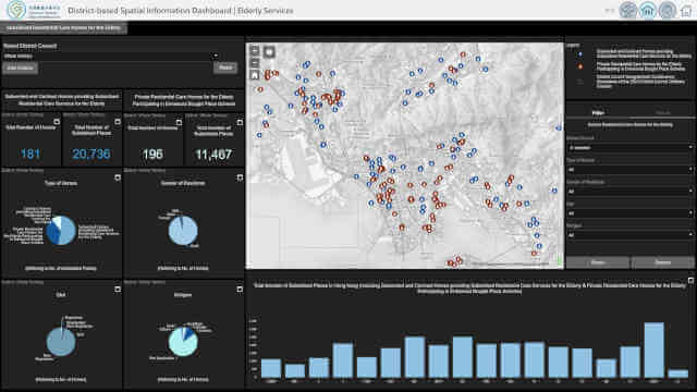
The Social Welfare Department offers a wide range of public services. More than 45 types of social services use the GeoInfo Map to present the locations of service units, covering areas such as Social Security, Family and Child Welfare, Medical Social Services, Rehabilitation Services, Services for Offenders, Youth Welfare Services, and Community Development and Support Services. With detailed information provided on the website and the associated GeoInfo Map, the public can locate the welfare services they need with greater efficiency. Explore the following two examples to learn more.